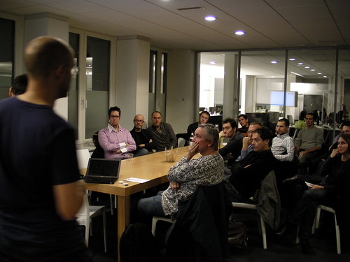
 Last monday, at the Lift seminar at our offices, we organized a set of talks about urban informatics. We discussed the large variety of data that are generated on top of the physical environment and their opportunities in terms of representations, analyses and services. When it comes to digital data, one can talk about "traces" but I will left the term "urban traces" out of the discussion because this discussion can applied to situations that go beyond the city context (suburbs, countryside...). This event was part of the urban informatics workshop series Fabien and have been running.
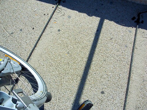 (Fixed sensor to measure bike usage in Marseilles)
My introduction to the seminar was about the types data that are available. I presented first the usual kind of data (cadastral, road/railroads/water/electricity/cable/telephone networks infrastructures and usage), talked about the open data initiative. However, our interest was really about "traces" of people's activity in space, for which one can discriminate:
- Activity-generated data: fixed sensors that can detect bike usage, moving sensors (pedometers, mobile phone, use of Velo'v bikes (unlike Velib bikes, Velo'v seemed to have GPS sensors, is that correct?), automatic location-declaration (on location-based services such as Aka Aki which automatically tells you who is in the vicinity)
- Volunteer-based data: that is... user-generated content, which can be technology-based (pictures uploaded on sharing platforms such as Flickr, or self-declared positioning as people report their location on Foursquare). It can also be non-technology-based: see for example Respiralyon a french initiative that enable people to report on smells and odors in their own city.
Then Fabien described different projects he carried out, which aims at engaging the audience on the potentials benefits of exploiting the logs of digital activities in our contemporary cities.
 (Measuring the pedestrian flows in Barcelona using Bluetooth sensors, a project carried out by Fabien for a spanish client)
To put it shortly, all of these data form a sort of informational membrane that surrounds the spatial environment. We have already dealt here with the possibilities afforded by these data that I described my french book about locative media:
- Visualize the data to describe the urban activity, reveal the invisible, make explicit the implicit (you can see Real Time Rome as a paragon for this use). This first step generally helps bringing new perspective for decision making and policies building or raising awareness and effect the discussion making of individuals or of a crowd.
- Use the data as a model for spatial activities that can enable what i would call "urban stakeholders" to act upon them. A good example for this is to provide urban planners, transportation authorities or traffic engineers with data to refine their models of citizens spatio-temporal behaviors... and eventually help the decision-making process: where to install certain services (or how can we craft certain incentives so that we make specific shops/services to be located in a designated areas). As Fabien mentioned, these data can help to complement existing models (it's not a substitution) drawn out of surveys or qualitative analyses.
- Use the data as a model to build applications on top of them. This is what Citysense aims at: building a tool to help people taking certain spatial decisions based on others' behavior. It shows the overall activity level of the city and hostpots as well as also links to Yelp or Google to show what venues are operating at those places. In addition, combined with other sources of information (such as Yelp), it allows to filter out places in the vicinity.
This part was followed by a presentation by Boris Beaude (EPFL) who is an insightful geographer and a talk by Pascal Wattiaux who discussed the role of technologies in the production of the olympic games. My role as a moderator did not allow me to take notes but Fabien did. Both of them gave some perspective to the "urban informatics" trend by showing a large set of constraints (geographical issues, event-related problems, marketing troubles), critiques (data reductionism) and of course opportunities for the near future.
Thanks Fabien, Boris and Pascal for their participation!